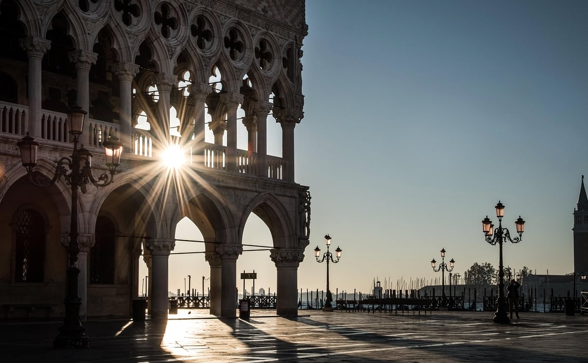
From Rialto
From the Rialto Bridge area, follow pedestrian signs towards San Marco through the historic centre. The approach passes through a close network of streets and small open spaces before the Piazza appears. Direction signs and a current map can help at junctions; local conditions or works can alter the most convenient path.
When you arrive, the Campanile and the basilica are useful visual anchors. Take a moment in the Piazza to orient yourself before moving towards the palace or waterfront.
From Santa Lucia station
From Venezia Santa Lucia station, walking to San Marco offers a longer introduction to the city’s street and bridge network. Follow signs towards Rialto and San Marco, or consult a current map for the route that suits your party. Steps on bridges, crowds and luggage can affect the journey; no walking time is assumed here.
Approaching by vaporetto
Vaporetto lines 1 and 2 are relevant to travel along the Grand Canal. San Zaccaria and San Marco Vallaresso are stops to consider for the San Marco area. Lines, stopping patterns, accessibility and schedules can change, so confirm the current route and direction before boarding. The two stops are in different positions around the waterfront; choose according to your intended destination.
Plan for the conditions
High water can change pedestrian routes, and temporary walkways may be in use. If step-free travel is important, check current access details for the entire journey rather than assuming that every bridge, landing or entrance is accessible.